Cenote El Pit
Overview
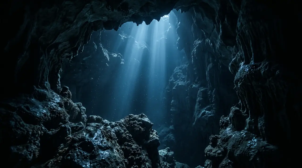
Cenote El Pit is the deepest cenote dive in the Riviera Maya region, a vertical sinkhole that plunges to over 40 meters through layers of crystal-clear freshwater, a ghostly hydrogen sulfide cloud, and ancient geological formations. Located in the jungle near Tulum, this cenote is part of the vast Dos Ojos cave system and offers one of the most otherworldly diving experiences available anywhere on Earth. The dive begins with a descent through remarkably clear fresh water, lit from above by shafts of sunlight that pierce through the cenote opening and create laser-like beams in the water column. As divers descend past 25 meters, they encounter the halocline where fresh and salt water meet, creating a shimmering visual distortion. Below this, at around 30 meters, lies the signature feature of El Pit — a thick layer of hydrogen sulfide gas that forms an eerie, fog-like cloud suspended in the water. Descending through this cloud reveals a dark, tannin-stained layer below, with ancient tree trunks and fossil formations on the bottom. The combination of depth, light effects, and the hydrogen sulfide cloud makes El Pit one of the most photographed cenotes in Mexico. The experience of hovering above the cloud while light beams cut through the darkness is genuinely awe-inspiring. Due to the depth, this dive requires Advanced Open Water certification at minimum, and divers should be comfortable with deep diving procedures. The cavern format means natural light is always visible, but the psychological impact of descending into the misty cloud can be intense for those unaccustomed to overhead environments.
Early access
Plan a dive here
Open the DiveOne planner to sketch a recreational plan before you go. It is a planning assistant, not a dive computer.
Marine life
Dive profile
DEPTH PROFILE
DEPTH PROGRESSION & WAYPOINTS: Cenote El Pit
Location
Frequently asked questions
What is the hydrogen sulfide cloud?
At around 30 meters, a layer of hydrogen sulfide gas creates a misty cloud that hangs in the water. It is not dangerous to pass through but creates a surreal visual effect.
What certification do I need?
Advanced Open Water or equivalent is required due to the depth. The site is a cavern dive (natural light visible), not a cave dive, but deep diving experience is essential.
When are the light beams best?
Late morning between 10 AM and noon, when the sun is high enough to send dramatic beams through the cenote opening into the clear water below.
Reviews
Reviews
No reviews yet
Data Provenance
This profile is compiled from 3 operator submissions and 142 community logs. Key facts (depth, entry) are verified against official hydrographic charts.