Banana Reef
Overview
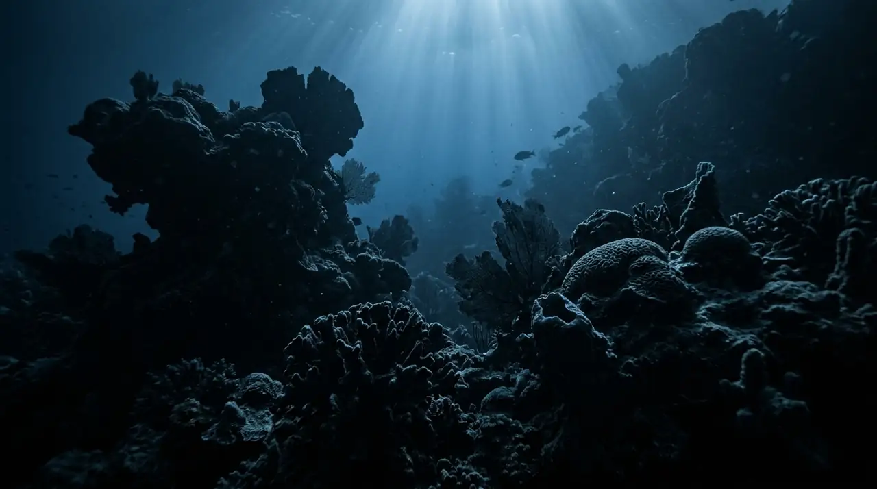
Banana Reef was the Maldives' first marine protected area, a curved reef formation in North Male Atoll with dramatic cliffs, overhangs, and swim-throughs covered in vibrant soft corals. The banana-shaped topography creates interesting current patterns that attract Napoleon wrasse, barracuda, and sea turtles. A historically significant site that helped establish marine conservation in the Maldives.
Early access
Plan a dive here
Open the DiveOne planner to sketch a recreational plan before you go. It is a planning assistant, not a dive computer.
Marine life
Dive profile
DEPTH PROFILE
DEPTH PROGRESSION & WAYPOINTS: Banana Reef
Location
Frequently asked questions
Why is Banana Reef historically important?
It was the first marine protected area in the Maldives, established to preserve its exceptional reef health and marine life.
What is the reef shape?
A curved, banana-shaped reef with dramatic cliff formations, overhangs, and swim-throughs covered in vibrant soft corals.
Is it crowded?
Being close to Male, it can attract day-trip boats. Early morning or late afternoon dives are less busy.
Reviews
Reviews
No reviews yet
Data Provenance
This profile is compiled from 3 operator submissions and 142 community logs. Key facts (depth, entry) are verified against official hydrographic charts.