Zembra Island
Overview
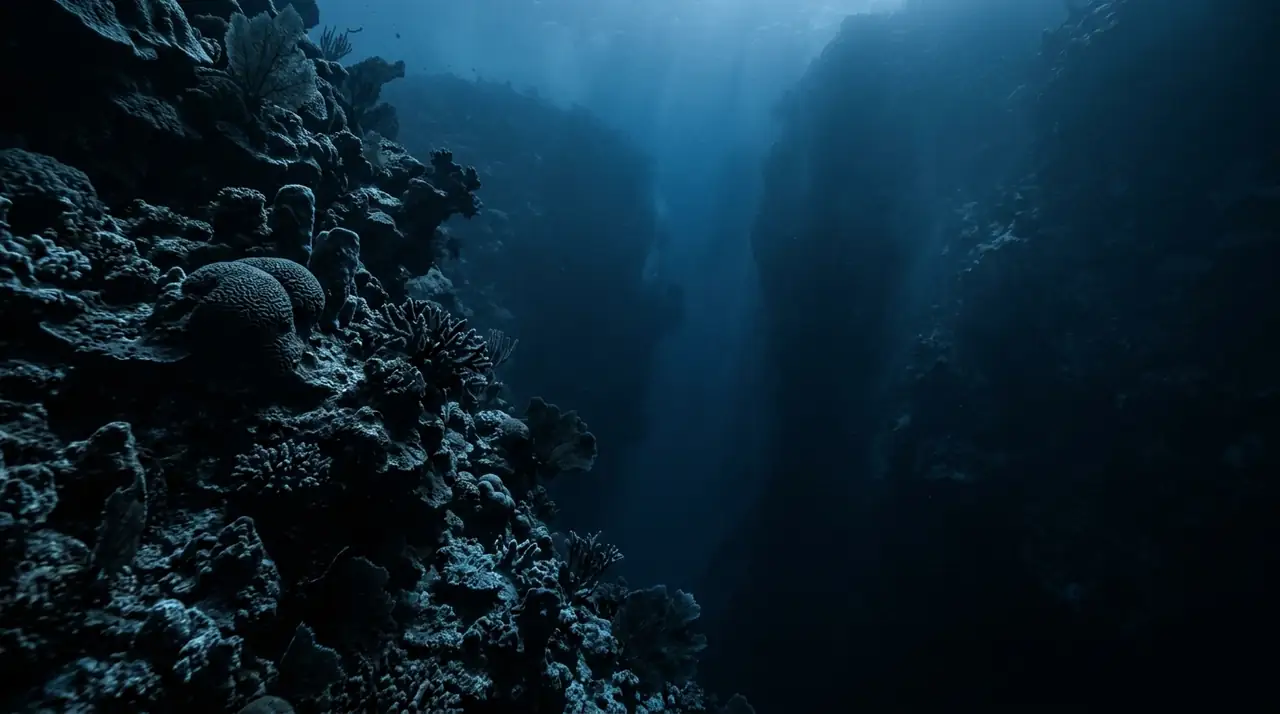
Zembra Island rises from the central Mediterranean like a fortress of limestone, its sheer cliffs continuing beneath the waves to create some of Tunisia's most spectacular wall diving. Designated a national park in 1977 and later recognised as a UNESCO Biosphere Reserve, this island roughly 15 kilometres north of Cap Bon has been sheltered from fishing pressure for decades, and the results underwater are extraordinary. I descended along the northern face of the island where the cliff drops vertically from the waterline into deep blue. Within seconds the wall was alive with colour: red and yellow gorgonian fans growing in dense profusion from every ledge, their polyps extended and feeding in the gentle current. At 20 metres, a dusky grouper the size of a large dog emerged from a cave and hung in the water column, studying me with the confidence of an animal that has never been hunted. Two more materialised from the gloom behind it, equally unfazed. The wall structure is riddled with small caves, chimneys, and overhangs that shelter lobsters, moray eels, and the occasional seahorse clinging to a gorgonian branch. I peered into one narrow crack and found a golden grouper wedged inside, its bronze flanks gleaming in my torch beam. Amberjack patrol the blue water off the wall, sometimes in schools of twenty or more, their silver bodies catching the light as they wheel past. As I ascended along the wall, the gorgonians gave way to encrusting sponges and coralline algae in the brighter shallows. Schools of damselfish and chromis swarmed the reef edge, and a small eagle ray glided past below me, disappearing over the drop-off. The visibility was staggering, easily exceeding 30 metres, and I could trace the wall curving away into the distance in both directions. Zembra delivers the kind of pristine Mediterranean diving that most people assume no longer exists, a time capsule of what these waters looked like before overfishing stripped them bare.
Early access
Plan a dive here
Open the DiveOne planner to sketch a recreational plan before you go. It is a planning assistant, not a dive computer.
Marine life
Dive profile
DEPTH PROFILE
DEPTH PROGRESSION & WAYPOINTS: Zembra Island
Location
Near Sidi Daoud, in the Nabeul Governorate region of Tunisia.
Frequently asked questions
How do I get permission to dive Zembra Island?
Zembra is a protected national park and UNESCO Biosphere Reserve. Diving requires advance authorization from the Agence de Protection et d'Amenagement du Littoral (APAL) in Tunis. Most dive operators based in Sidi Daoud or Kelibia handle the permit process for their clients. Only a limited number of divers are allowed per day, so booking at least two weeks ahead during summer is strongly recommended.
What makes Zembra different from Tabarka diving?
While Tabarka is known for its red coral pinnacles, Zembra offers dramatic vertical wall diving along the island's cliffs. The reserve status since 1977 has allowed marine life to flourish virtually undisturbed, resulting in grouper densities rarely seen elsewhere in the Mediterranean. The water clarity at Zembra also tends to be superior due to its offshore position in deeper, cleaner currents.
What is the best season to dive Zembra?
The optimal window runs from June through September, when sea conditions are calmest and water temperatures reach 24 to 27 degrees Celsius. Visibility peaks in July and August, often exceeding 35 metres. The crossing from Sidi Daoud takes roughly 45 minutes by fast boat, but can be rough outside the summer months. Spring dives in May are possible on calm days and offer cooler water with good grouper activity.
Reviews
Reviews
No reviews yet
Data Provenance
This profile is compiled from 3 operator submissions and 142 community logs. Key facts (depth, entry) are verified against official hydrographic charts.