Tiger Reef
Overview
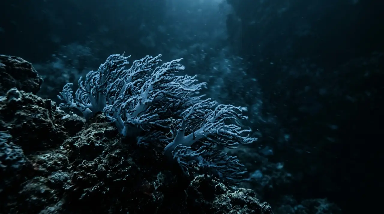
Tiger Reef is Tioman Island's most exhilarating dive, a submerged rocky outcrop lying several kilometers offshore in the South China Sea where strong oceanic currents concentrate an impressive array of pelagic species. Unlike Tioman's sheltered fringing reefs, Tiger Reef is an exposed open-water site where conditions can change rapidly and the rewards match the challenge. The reef rises from a sandy bottom at about 25 meters to a plateau at around 12 meters, its surfaces swept clean by currents that deliver nutrients from the deep. Dropping down onto the reef in a running current, the first sensation is the energy of the place. Water rushes across the rocky surfaces, bending sea fans flat and pushing schools of fusiliers into tight, silver balls. Black-tip reef sharks cruise the reef edges with the relaxed confidence of apex predators, typically two or three individuals patrolling overlapping territories. They show little concern for divers, making steady passes at comfortable viewing distance before disappearing into the blue and circling back. Eagle rays are Tiger Reef's other marquee attraction. These elegant creatures use the current to their advantage, gliding effortlessly across the reef face with barely a wing beat. I watched a group of four rays soaring in formation along the reef edge, their spotted patterns catching the filtered sunlight, and it remains one of my most memorable underwater moments in Malaysian waters. The reef itself is dominated by large sea fans and whip corals that thrive in the nutrient-rich current, providing perches for hawkfish and hiding spots for long-nose filefish. Napoleon wrasses occasionally cruise past the reef, their massive blue-green forms unmistakable even at distance. Schools of bumphead parrotfish graze across the reef in the early morning, their crunching audible underwater as they methodically process coral. Tiger Reef demands respect from divers, but it repays that respect with encounters that would be headline moments at any dive site in Southeast Asia.
Early access
Plan a dive here
Open the DiveOne planner to sketch a recreational plan before you go. It is a planning assistant, not a dive computer.
Marine life
Dive profile
DEPTH PROFILE
DEPTH PROGRESSION & WAYPOINTS: Tiger Reef
Location
Frequently asked questions
How does Tiger Reef compare to Chebeh Island at Tioman?
Both are current-swept sites, but Tiger Reef is a submerged rocky outcrop entirely underwater while Chebeh is a small island with fringing reef. Tiger Reef typically has stronger currents and more consistent shark sightings. Chebeh offers a more varied dive with shallower sections, while Tiger Reef is purely a deep reef experience for advanced divers.
Is Tiger Reef suitable for less experienced divers?
No, Tiger Reef requires Advanced Open Water certification at minimum and ideally some drift diving experience. Currents can be strong and unpredictable, and the reef top starts at 12 meters with interesting features extending to 25 meters. There is no shelter from current on this exposed offshore rock. Less experienced divers should try Tioman's more sheltered sites first.
When is the best time for shark sightings at Tiger Reef?
Black-tip reef sharks are present year-round but are most reliably seen during the stronger current months of April through June and September through October. Early morning dives tend to produce the best shark activity. The sharks patrol the current-swept edges of the reef and can be observed from a comfortable distance by staying on the reef.
Reviews
Reviews
No reviews yet
Data Provenance
This profile is compiled from 3 operator submissions and 142 community logs. Key facts (depth, entry) are verified against official hydrographic charts.