Malpelo Island
Overview
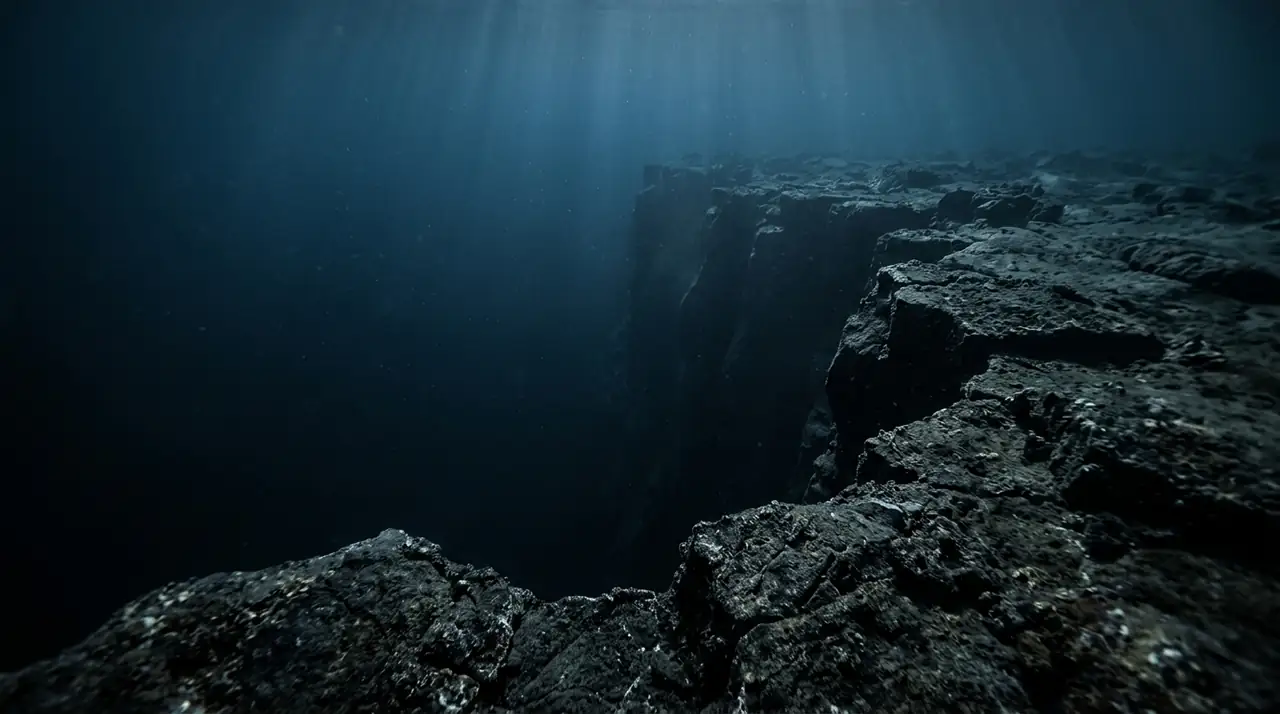
Malpelo Island rises from the depths of the eastern Pacific Ocean like a fortress, its sheer volcanic walls plunging from a peak 299 metres above sea level to an abyssal floor over 4,000 metres below. Located 490 kilometres west of Buenaventura, Colombia, this UNESCO World Heritage Site is one of the most remote and spectacular diving destinations on the planet, accessible only by multi-day liveaboard expeditions across open ocean. The diving at Malpelo centres on a series of underwater pinnacles, ridges, and walls that surround the main island and its satellite rocks. The star attraction is the enormous aggregation of scalloped hammerhead sharks that congregate at cleaning stations along the ridges. Schools of 200 to 300 individuals are not uncommon, and during peak season the hammerheads form massive living walls that stretch as far as visibility allows. Silky sharks circle in the blue water beyond the reef, while Galapagos sharks patrol the rocky walls and whale sharks make periodic appearances between January and May. What truly sets Malpelo apart from other shark destinations is the presence of the smalltooth sand tiger shark, an extremely rare deepwater species found at only a handful of locations worldwide. At Malpelo, they can be encountered at the aptly named Bajo del Monstruo at depths around 40 metres, emerging from the gloom like prehistoric apparitions. Encountering these elusive creatures in their natural habitat is a privilege granted to very few divers. Conditions at Malpelo are demanding. Strong currents regularly sweep across the dive sites, surge can be powerful near the walls, and visibility varies from 15 to 25 metres depending on plankton blooms. Water temperature typically ranges from 22 to 27 degrees Celsius, with deeper thermoclines bringing noticeably cooler water. The Colombian navy maintains a permanent base on the island, and strict regulations limit the number of visiting vessels to protect this extraordinary marine ecosystem.
Early access
Plan a dive here
Open the DiveOne planner to sketch a recreational plan before you go. It is a planning assistant, not a dive computer.
Marine life
Dive profile
DEPTH PROFILE
DEPTH PROGRESSION & WAYPOINTS: Malpelo Island
Location
Near Buenaventura, in the Colombian Pacific region of Colombia.
Frequently asked questions
How do you get to Malpelo Island for diving?
Malpelo can only be reached by liveaboard, departing from Buenaventura on Colombia's Pacific coast. The crossing takes approximately 30-36 hours each way across open ocean. Trips typically last 8-11 days including transit time. Only a handful of licensed liveaboard operators are permitted to visit, and the Colombian navy maintains a permanent garrison on the island.
What sharks will I see diving at Malpelo Island?
Malpelo is one of the world's premier shark diving destinations. Schools of 200-300 scalloped hammerhead sharks are regularly encountered at cleaning stations. Silky sharks patrol the blue water, Galapagos sharks cruise the walls, and whale sharks make seasonal appearances. Most uniquely, Malpelo is one of the only places to reliably dive with the rare smalltooth sand tiger shark at depths around 40 metres.
What experience level is needed for diving Malpelo?
Malpelo demands expert-level diving skills. Strong currents, surge, deep profiles to 40 metres, and limited visibility at times all require extensive experience. Most operators require a minimum of 50-100 logged dives, Advanced Open Water certification, and Nitrox certification. Deep diving experience and comfort in strong currents are essential. This is not a destination for newly certified divers.
Reviews
Reviews
No reviews yet
Data Provenance
This profile is compiled from 3 operator submissions and 142 community logs. Key facts (depth, entry) are verified against official hydrographic charts.