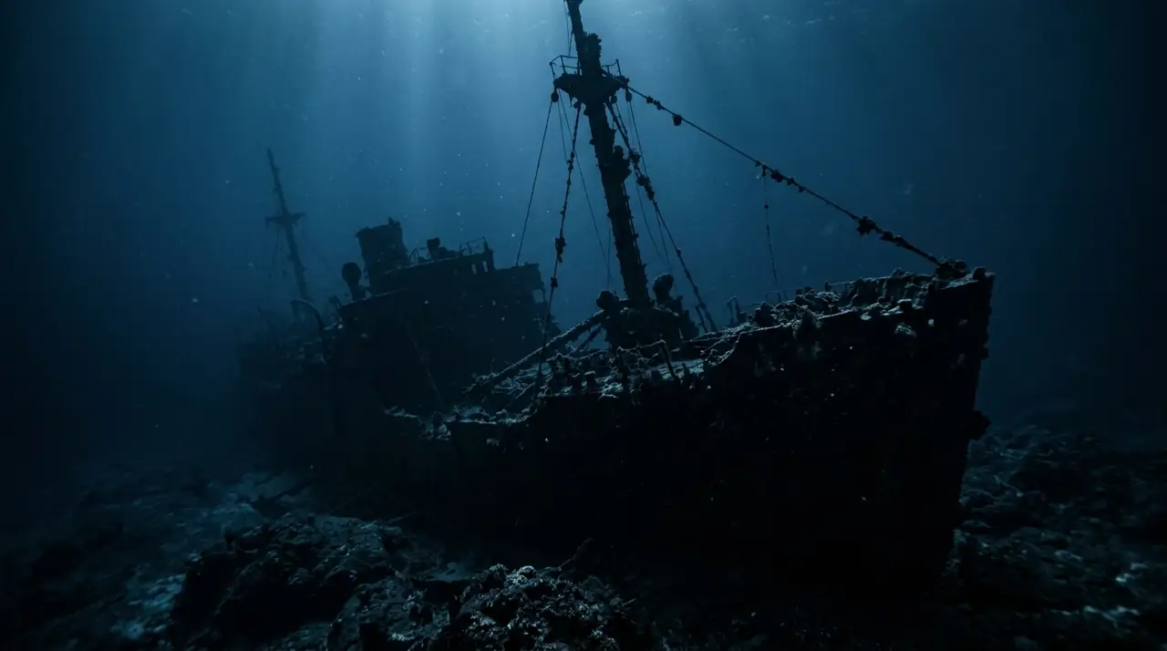
HMS Maori Wreck
Overview
HMS Maori is a World War II British destroyer wreck lying in the shallow waters of Valletta's Grand Harbour, making it one of the most accessible warship wrecks in the Mediterranean. This Tribal-class destroyer was hit by a German bomb on 12 February 1942 while moored in the harbour during the Siege of Malta. The wreck was later moved to its current position near Fort St Elmo to clear the harbour. Today, the remains of HMS Maori rest at a depth of 14–16 meters on a sandy bottom, with much of the ship's structure still identifiable. The bow section is the most intact, rising 3–4 meters above the seabed with recognisable deck fittings, bollards, and structural ribbing. Engine components, hull plates, and miscellaneous machinery are scattered across the site. The wreck has become an artificial reef, colonised by Mediterranean marine life. Octopuses are the star residents — several individuals make their homes in the wreck's recesses and are frequently observed hunting or displaying. Moray eels peer from holes in the hull, scorpionfish camouflage on flat surfaces, and damselfish schools hover above the structure. Nudibranchs can be found with patient searching. Bream and groupers patrol the surrounding area. HMS Maori is one of Malta's most popular shore dives, accessed from the rocks near Fort St Elmo in Valletta. The entry is straightforward with a short surface swim to the wreck. The shallow depth allows long dive times (60+ minutes) and is ideal for photography. The wreck is often combined with a second dive at the nearby Carolita barge or reef sites along the Valletta waterfront.
Early access
Plan a dive here
Open the DiveOne planner to sketch a recreational plan before you go. It is a planning assistant, not a dive computer.
Marine life
Dive profile
DEPTH PROFILE
DEPTH PROGRESSION & WAYPOINTS: HMS Maori Wreck
Location
Frequently asked questions
What certification is needed for HMS Maori?
Open Water certification is sufficient. The wreck sits at 14–16 meters in Valletta's Grand Harbour. There are no significant currents, and the shallow depth makes it ideal for extended exploration and photography.
When is the best time to dive HMS Maori?
April to November offers the best conditions with warmer water (18–26 °C) and good visibility (10–20 meters). The wreck is diveable year-round. Summer months are warmest and most comfortable.
What is the HMS Maori?
HMS Maori was a British Tribal-class destroyer that was bombed in Valletta's Grand Harbour in February 1942 during WWII. The wreck was later moved to its current position at Fort St Elmo. At only 14 meters depth, it is one of the most accessible WWII warship wrecks in the Mediterranean.
Reviews
Reviews
No reviews yet
Data Provenance
This profile is compiled from 3 operator submissions and 142 community logs. Key facts (depth, entry) are verified against official hydrographic charts.