Columbretes Islands
Overview
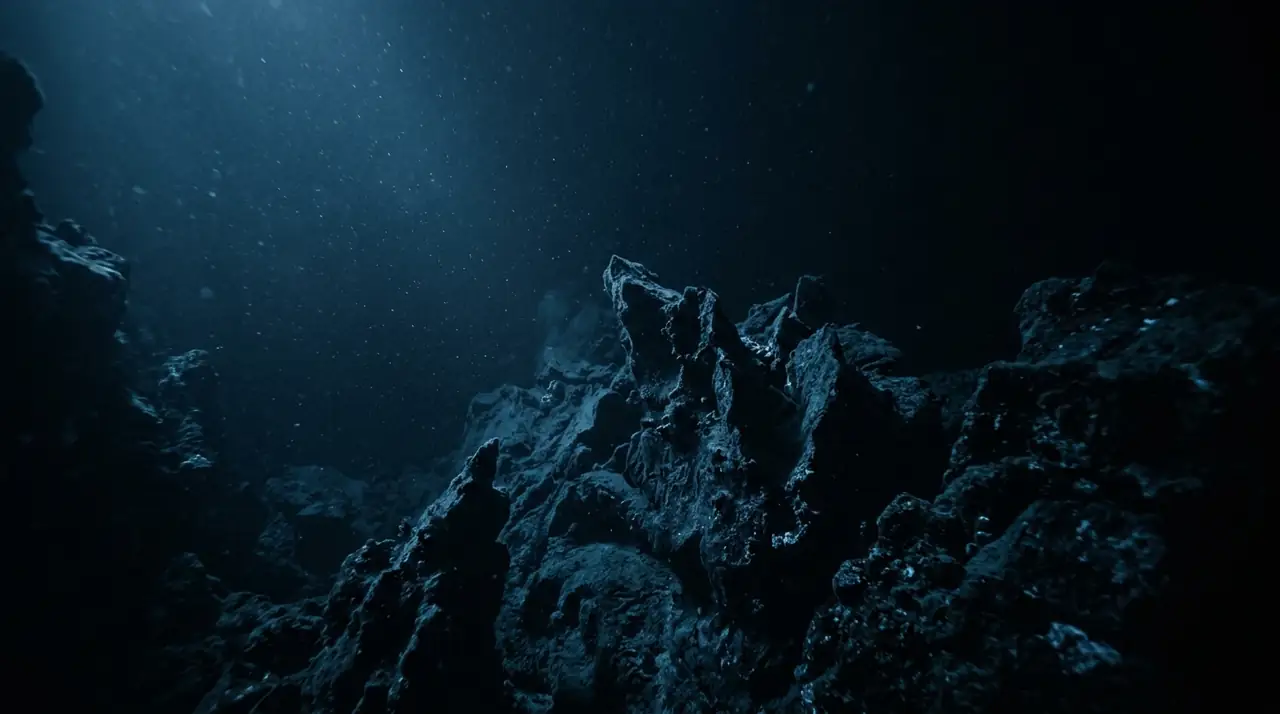
The Columbretes Islands represent one of the Mediterranean's last truly wild frontiers. This remote volcanic archipelago lies 49 kilometres off the coast of Castellon in the Valencian Community, far enough from shore that the Spanish mainland disappears from view entirely. Declared a natural park in the 1980s and one of the largest marine reserves in Spain, the Columbretes offer a diving experience defined by solitude, crystalline visibility, and an astonishing density of marine life. The archipelago consists of four groups of arid volcanic islands rising from depths of 80 metres, their dark basalt formations creating a dramatic contrast against the deep blue water. Underwater, the volcanic rock is sculpted into arches, pinnacles, and overhangs that provide shelter for an extraordinary concentration of life. Enormous dusky groupers, some of the largest in the western Mediterranean, patrol the reef with territorial confidence. Schools of dentex and golden bream circle in the blue, while brown meagre hide in the shadows of the volcanic boulders. Visibility at the Columbretes routinely exceeds 20 metres and on the best days stretches well beyond 30 metres, offering an almost tropical clarity rare in Mediterranean waters. The remote location and strict protection mean the reef is virtually untouched by human impact. Rare laminaria algae, normally found only in Atlantic waters, cling to deeper sections of the reef, while red coral colonies add splashes of crimson to the darker overhangs. During summer months, loggerhead sea turtles are frequent visitors, and cetaceans are regularly spotted from the boat. Diving the Columbretes requires planning and commitment. The boat ride from Castellon or Oropesa del Mar takes two to three hours, and trips run only when weather conditions permit. Permits are limited and must be arranged through authorized operators well in advance. But for divers willing to make the journey, the reward is a pristine marine world that feels genuinely untouched, a living testament to what the Mediterranean can become when given the chance to recover. The Columbretes are not just a dive site; they are a glimpse into the past.
Early access
Plan a dive here
Open the DiveOne planner to sketch a recreational plan before you go. It is a planning assistant, not a dive computer.
Marine life
Dive profile
DEPTH PROFILE
DEPTH PROGRESSION & WAYPOINTS: Columbretes Islands
Location
Near Castellon de la Plana, in the Valencian Community region of Spain.
Frequently asked questions
What certification do I need to dive the Columbretes Islands?
An Advanced Open Water certification is recommended due to the offshore location, potential currents, and depths beyond 20 metres. The remote setting requires good buoyancy skills and experience in open-water conditions. Permits are required and must be arranged through authorized dive operators.
When is the best time to dive the Columbretes Islands?
June through September offers the best combination of calm seas, warm water temperatures around 22 to 26 degrees, and reliable visibility exceeding 20 metres. Trips depend on weather conditions and sea state, so flexibility in scheduling is essential. The boat journey from Castellon takes approximately three hours.
How do I get to the Columbretes Islands for diving?
The Columbretes lie 49 kilometres offshore from Oropesa del Mar and can only be reached by boat, typically departing from Castellon or Oropesa del Mar. The journey takes roughly two to three hours depending on conditions. Only authorized operators hold permits to dive in the reserve, and advance booking is essential as trips are weather-dependent.
Reviews
Reviews
No reviews yet
Data Provenance
This profile is compiled from 3 operator submissions and 142 community logs. Key facts (depth, entry) are verified against official hydrographic charts.