Coiba Island
Overview
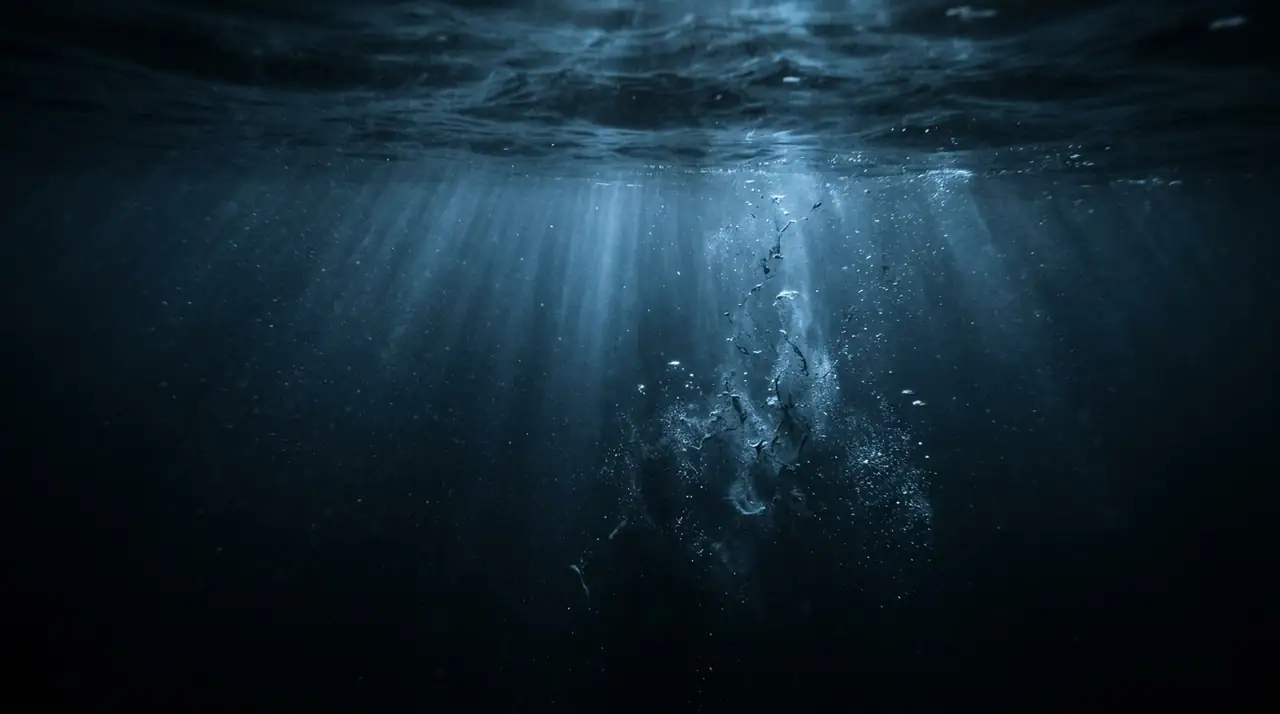
Coiba Island is Panama's wildest dive destination and one of the eastern Pacific's best-kept secrets for big animal encounters. This UNESCO World Heritage Site lies about 50 kilometres off the Pacific coast in the Gulf of Chiriquí, protected as part of Coiba National Park. The island served as a penal colony until 2004, which ironically preserved its marine ecosystems from development, leaving a ring of pristine reefs and rocky pinnacles surrounded by nutrient-rich waters attracting extraordinary pelagic life. My first dive at Coiba was at Iglesia, a submerged rock formation where current funnels past a wall covered in sea fans and hard corals. Within minutes, a school of bigeye jacks so dense it blocked out the sun swept past, followed by spotted eagle rays and whitetip reef sharks patrolling the thermocline. This action is typical — the combination of cold upwelling currents and tropical surface waters creates a meeting point for species from different thermal regimes. The star attractions are seasonal whale sharks visiting between December and April, drawn by plankton blooms. These gentle giants can reach 10 metres or more, and encountering one while hovering over a reef covered in cup corals stays with you permanently. Manta rays cruise through cleaning stations on the island's northern side, and humpback whales pass through from July to October during their annual migration, sometimes audible underwater from kilometres away. Beyond pelagic encounters, the reef systems around Coiba are healthy and diverse. Hard coral coverage is excellent by eastern Pacific standards, with Pocillopora and Pavona corals providing habitat for moray eels, frogfish, and a kaleidoscope of tropical reef fish. Visibility varies from 10 to 25 metres depending on season, with clearer water during the dry season. The remoteness means fewer divers and wilder encounters — this is not a polished resort destination but a genuine wilderness experience rewarding adventurous divers willing to make the journey from Santa Catalina.
Early access
Plan a dive here
Open the DiveOne planner to sketch a recreational plan before you go. It is a planning assistant, not a dive computer.
Marine life
Dive profile
DEPTH PROFILE
DEPTH PROGRESSION & WAYPOINTS: Coiba Island
Location
Near Santa Catalina, in the Veraguas Province region of Panama.
Frequently asked questions
How do I get to Coiba Island for diving in Panama?
Most divers access Coiba Island from the small surf town of Santa Catalina on Panama's Pacific coast. Day trips involve a 90-minute boat ride each way, while liveaboard trips of 2-3 days offer more dive time and access to remote sites around the island. Santa Catalina is reached by bus from Santiago or Panama City, a journey of about 5-6 hours from the capital.
When is whale shark season at Coiba Island?
Whale sharks are most commonly sighted around Coiba Island from December to April, coinciding with the dry season and cooler, nutrient-rich water upwellings. January and February are considered peak months. Sightings are not guaranteed on every dive, but multi-day trips significantly increase your chances of an encounter.
What certification level do I need for diving at Coiba?
Open Water certification is sufficient for some of the shallower sites, but intermediate to advanced certification is recommended for the best dive spots, which involve moderate currents and depths up to 35 metres. Experience with current diving is particularly valuable, as the nutrient-rich waters that attract big animals also create variable current conditions.
Reviews
Reviews
No reviews yet
Data Provenance
This profile is compiled from 3 operator submissions and 142 community logs. Key facts (depth, entry) are verified against official hydrographic charts.