Cirkewwa Arch
Overview
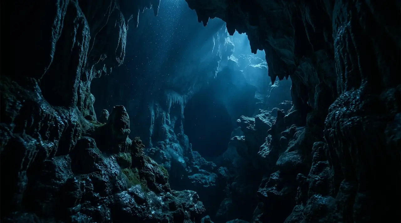
Cirkewwa Arch sits at the northwestern tip of Malta, where the ferry terminal for Gozo overlooks a rocky coastline that drops into some of the clearest water in the central Mediterranean. This is Malta's most-dived shore site, and for good reason: a natural limestone arch at accessible depth, abundant marine life, and the option to extend deeper to the nearby MV Rozi tugboat wreck, all accessible from an easy shore entry with parking and facilities. The entry is among the best in Malta. Concrete steps with handrails lead into shallow water over a sandy bottom, and from there a short swim brings you to the reef edge where the seabed drops away. The arch itself is unmistakable: a broad limestone bridge at roughly 10 metres depth, wide enough for several divers to pass through simultaneously. Swimming through the arch toward the open sea, the light effect is classic Mediterranean, electric blue water framing the arch's opening with the silhouette of the reef beyond. I have dived Cirkewwa dozens of times across all seasons, and its reliability is its greatest asset. On all but the most storm-affected days, visibility exceeds 25 metres. The water temperature ranges from a brisk 15 degrees in February to a comfortable 27 degrees in August. The arch itself is the focal point, but the surrounding reef provides excellent diving in its own right. Octopuses are common in the rocky reef around the arch, often visible during the day tucked into crevices with just their tentacles exposed. Moray eels inhabit several permanent holes that local divemasters know well. Schools of damselfish and ornate wrasse swirl around the reef structure, and the occasional Mediterranean barracuda patrols the blue water off the reef edge.
Early access
Plan a dive here
Open the DiveOne planner to sketch a recreational plan before you go. It is a planning assistant, not a dive computer.
Marine life
Dive profile
DEPTH PROFILE
DEPTH PROGRESSION & WAYPOINTS: Cirkewwa Arch
Location
Frequently asked questions
How do you access Cirkewwa Arch and what is the entry like?
Cirkewwa Arch is accessed from a paved entry point at the Cirkewwa ferry terminal car park at Malta's northwestern tip. The entry involves a short walk across flat rock to concrete steps leading into the water. This is one of the easiest shore entries in Malta, with handrails and a sandy bottom at the base of the steps. From the entry, a surface or shallow swim of about 50 metres brings you to the arch. The ferry terminal provides car parking, toilets, and a cafe, making it exceptionally convenient for multiple dives.
Can I combine the Cirkewwa Arch dive with the MV Rozi wreck?
Yes, experienced divers commonly combine the arch with the MV Rozi tugboat wreck in a single dive. The Rozi sits at 36 metres depth approximately 100 metres from the arch, requiring Advanced Open Water certification. The typical profile involves descending to the wreck first at maximum depth, then ascending to the arch for the shallower portion and safety stop. Due to the depth of the wreck, air consumption management is important. Less experienced divers can enjoy the arch and surrounding reef exclusively, which provides excellent diving between 5 and 15 metres.
What makes Malta's water clarity so exceptional at Cirkewwa?
Malta's exceptional underwater visibility results from the island's limestone geology and lack of major rivers or runoff. The porous limestone filters rainwater before it reaches the sea, and the absence of significant sediment sources means the surrounding Mediterranean water remains remarkably clear. Visibility at Cirkewwa regularly exceeds 30 metres and can reach 40 metres or more during summer and autumn. The prevailing northwest exposure can reduce visibility after storms, but conditions typically recover within 24 to 48 hours.
Reviews
Reviews
No reviews yet
Data Provenance
This profile is compiled from 3 operator submissions and 142 community logs. Key facts (depth, entry) are verified against official hydrographic charts.