Blue Cave (Bisevo Island)
Overview
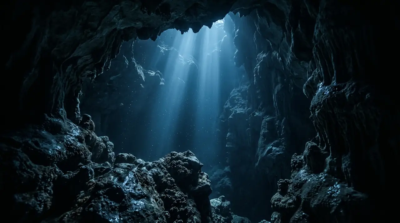
The Blue Cave on Bisevo Island is one of the Adriatic's most iconic natural wonders, and experiencing it beneath the surface transforms a beautiful sight into something truly otherworldly. Located five kilometres southwest of Vis, the most remote of Croatia's inhabited islands, this sea cave has captivated visitors since its discovery in 1884. While thousands of tourists view it from small boats each year, relatively few experience the dive that reveals its full magic. The cave stretches 24 metres in length, reaches 10-12 metres in depth, and rises up to 15 metres from waterline to ceiling. The original entrance is submerged, measuring just 1.5 metres high and 2.5 metres wide, requiring divers to enter through a narrow underwater passage. As you swim through, the water around you gradually transforms from the deep blue of the open Adriatic into an intense, luminous aquamarine. Sunlight passing through the underwater opening refracts off the white limestone seabed and illuminates the entire cave interior with an unearthly silver-blue glow. Inside the cave, the atmosphere is serene and protected from any current. Lobsters tuck themselves into crevices along the walls, while scorpionfish blend so perfectly with the rocky substrate that they seem to appear from nowhere. Octopuses hunt in the shadows, and colourful sponges encrust the lower walls. The rock formations themselves are fascinating, shaped by millennia of erosion into smooth, flowing contours. The dive is relatively shallow, maxing out at around 20 metres on the approach, making it accessible to divers with intermediate experience. However, the overhead environment and the narrow entrance demand good buoyancy skills and a calm disposition. The optimal time for the blue light effect is between 11 a.m. and noon during summer months, when the sun angle is perfect for maximum refraction. Dive centres in Komiza on Vis island organize trips to Bisevo, combining the cave dive with additional reef dives around the island's spectacular coastline. Vis island's remote position in the central Adriatic ensures higher biodiversity and clearer water than sites closer to the mainland.
Early access
Plan a dive here
Open the DiveOne planner to sketch a recreational plan before you go. It is a planning assistant, not a dive computer.
Marine life
Dive profile
DEPTH PROFILE
DEPTH PROGRESSION & WAYPOINTS: Blue Cave (Bisevo Island)
Location
Frequently asked questions
What certification do I need to dive the Blue Cave on Bisevo?
An Advanced Open Water certification with cave or cavern diving experience is recommended, although the maximum depth is only 20 metres. The cave environment requires good buoyancy control and comfort in overhead environments. Several dive centres on Vis island offer guided cave dives with proper briefings.
When is the best time to dive the Blue Cave?
The best time for the blue light phenomenon is between 11 a.m. and noon from May to September, when sunlight enters the underwater opening at the optimal angle and reflects off the white seabed. Summer months offer warmer water temperatures around 22 to 25 degrees and calmer sea conditions.
Can I snorkel or only scuba dive in the Blue Cave?
Both snorkelling and scuba diving are possible. Tourist boats regularly enter through the artificial entrance for sightseeing, while divers can access the cave through the original underwater entrance. The diving experience is unique because you swim through the submerged passageway and emerge inside the illuminated grotto.
Reviews
Reviews
No reviews yet
Data Provenance
This profile is compiled from 3 operator submissions and 142 community logs. Key facts (depth, entry) are verified against official hydrographic charts.