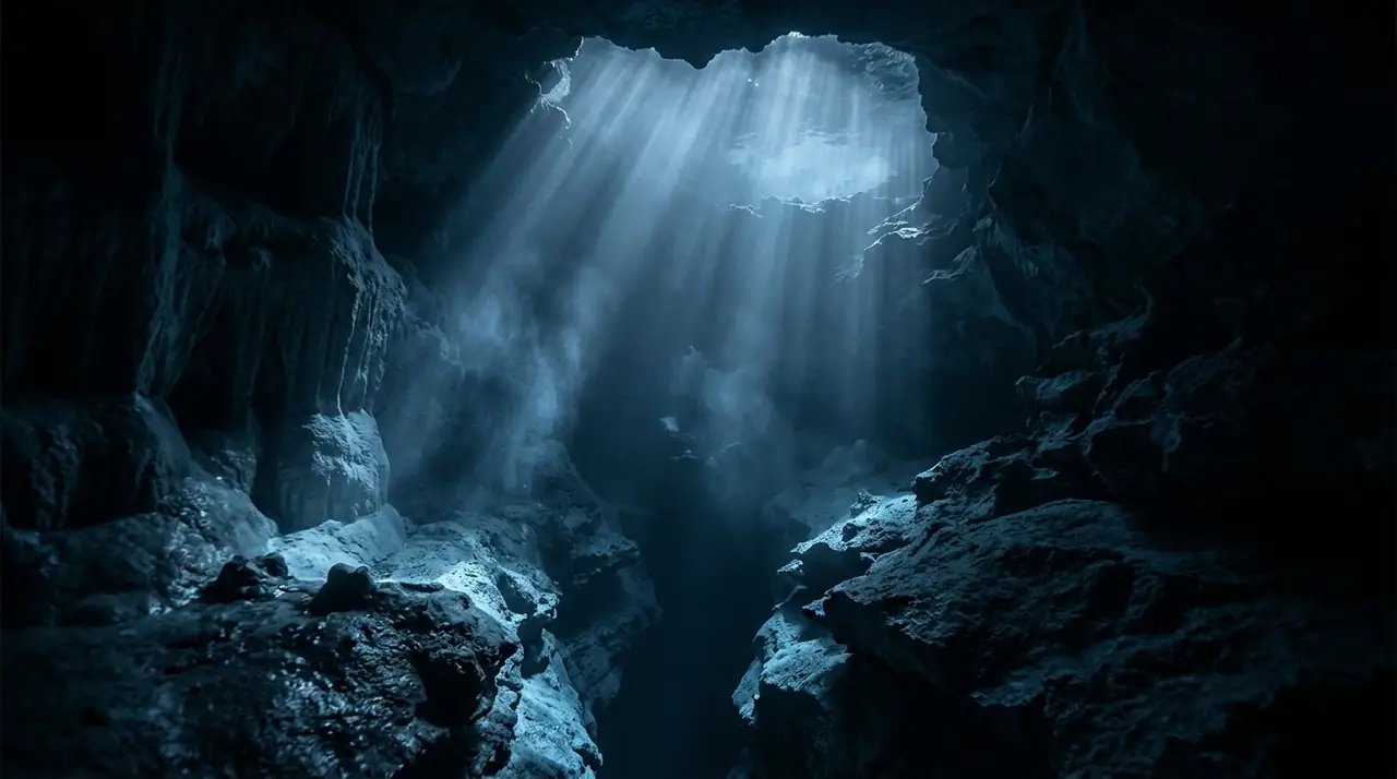
Ankobra Beach
Overview
Ankobra Beach sits on Ghana's western coastline where the Ankobra River spills into the Gulf of Guinea, a place where the concept of frontier diving takes on literal meaning. This is not a site with a dive shop on every corner, a mooring ball system, or a laminated site map. It is raw, largely unexplored, and rewards the adventurous diver with underwater experiences that come with the genuine thrill of seeing things no one else has documented. I reached Ankobra after a long drive west from Takoradi, the road eventually giving way to red laterite tracks through coastal palm forest. A local fisherman had agreed to take me to the rocky outcrops he knew about half a kilometer offshore, structures he said his nets sometimes snagged on. We launched through moderate surf in his wooden pirogue, the outboard motor pushing us through warm, grey-green Atlantic water. The rocks appeared on the depth sounder at twelve meters, and I dropped in to find a series of low granite outcrops rising two to three meters from a sandy bottom. The visibility was around eight meters in the dry season water, adequate to see the full extent of each rock formation. The surfaces were covered in a thin layer of encrusting organisms -- sponges, tunicates, and colonial hydroids that gave them texture and color. Not the riot of a tropical reef, but unmistakably alive and thriving. West African parrotfish grazed the rock surfaces, their colors muted compared to Caribbean cousins but their behavior identical. African moray eels peered from crevices, more slender than their Mediterranean relatives. A school of Atlantic spadefish hung in the water column above the rocks, their flat silver bodies catching whatever light penetrated from above. The surprise of the dive was a green turtle that appeared from the edge of visibility, cruised past at close range, and continued into the blue without concern.
Early access
Plan a dive here
Open the DiveOne planner to sketch a recreational plan before you go. It is a planning assistant, not a dive computer.
Marine life
Dive profile
DEPTH PROFILE
DEPTH PROGRESSION & WAYPOINTS: Ankobra Beach
Location
Frequently asked questions
Is there organized diving available at Ankobra Beach?
Diving infrastructure at Ankobra Beach is minimal and developing. A small number of operators based in the Axim area offer dive trips, but this is not an established dive tourism destination. Visitors should expect to arrange diving through local contacts or bring their own equipment. Some of the beach resorts in the area can help connect visitors with boat operators and local guides who know the reef locations.
What are the water conditions like at Ankobra Beach?
Water conditions vary significantly by season. The dry season from November to March offers the best visibility, typically 8 to 12 meters, with calmer seas and less river runoff affecting the water clarity. During the rainy season from April to October, river discharge from the Ankobra reduces visibility substantially and can make boat operations more challenging. Water temperature remains warm year-round, between 25 and 29 degrees Celsius.
What should I know about diving logistics in Ghana?
Ghana has very limited diving infrastructure compared to established dive destinations. There is no hyperbaric chamber in the immediate area, with the nearest being in Accra. Dive equipment rental may be unavailable, so bringing your own gear is recommended. Travel to Ankobra Beach from Accra takes approximately 5 to 6 hours by road. Accommodation is available at several beach resorts in the Axim to Ankobra area, ranging from basic to mid-range comfort.
Reviews
Reviews
No reviews yet
Data Provenance
This profile is compiled from 3 operator submissions and 142 community logs. Key facts (depth, entry) are verified against official hydrographic charts.